GeoPilot now has its own home. Same powerful GIS, new dedicated platform. Visit Smart Bhujal →
Process massive rasters with AI.
Drone orthomosaics, satellite imagery, LiDAR DEMs, and climate data. GeoPilot LargeImage handles multi-gigabyte rasters with tiled processing, so you can analyze any dataset regardless of size.
Industry-standard raster formats with full metadata preservation.
The standard for geospatial rasters. Multi-band, tiled, compressed. Full COG (Cloud Optimized GeoTIFF) support.
Climate and oceanographic datasets. Multi-dimensional arrays with time series, elevation bands, and variable metadata.
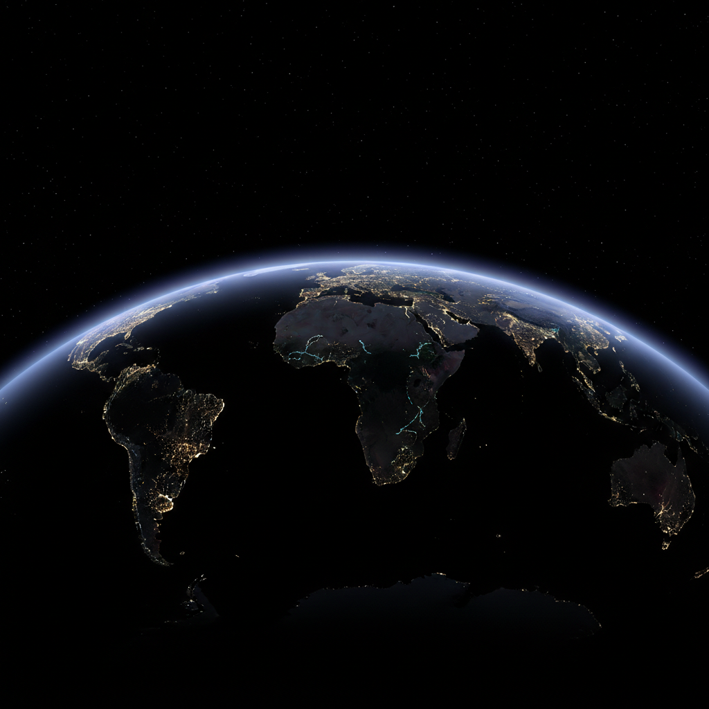
High-compression satellite imagery. Sentinel-2, Landsat, and commercial satellite providers.
From precision agriculture to climate science, LargeImage handles it all.
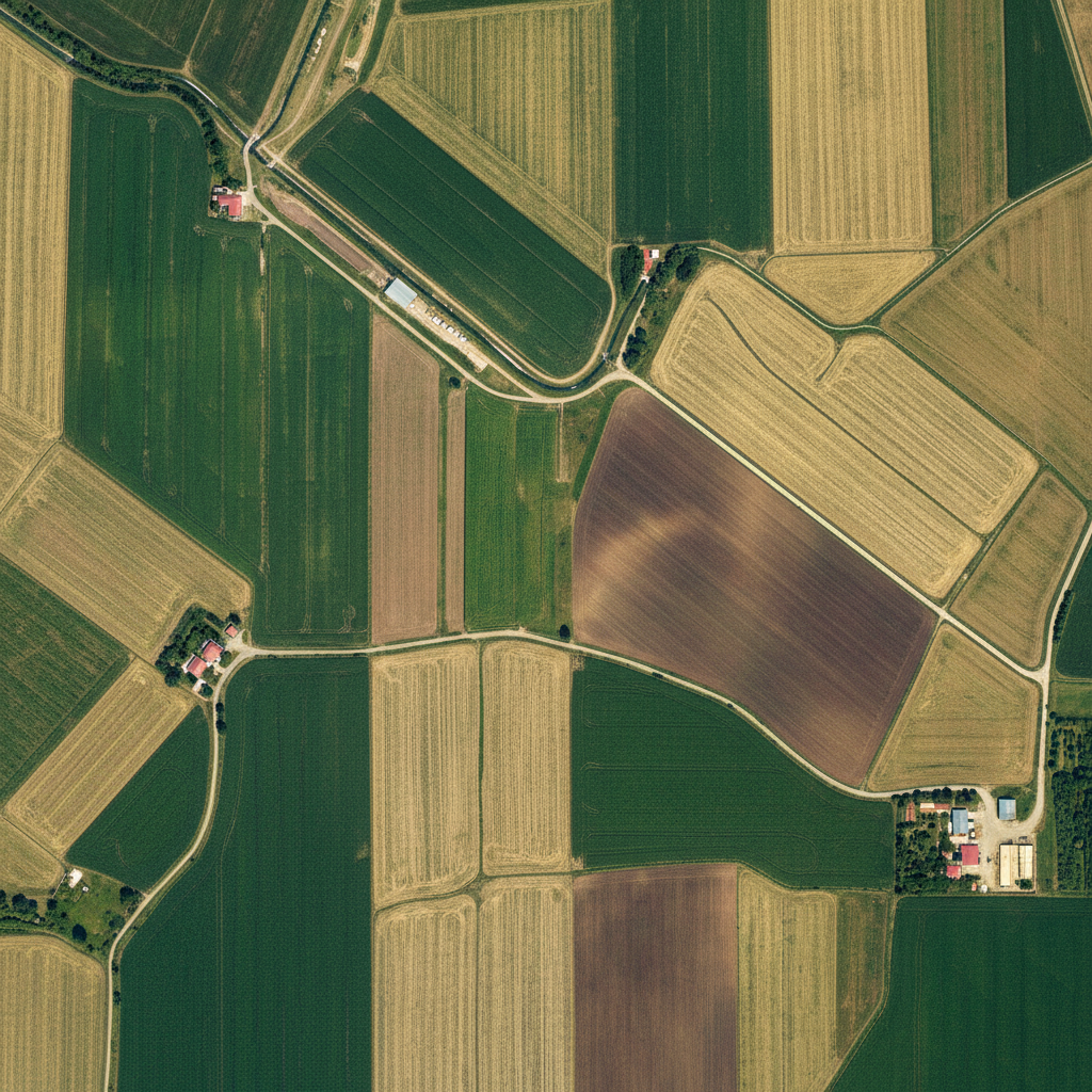
Process centimeter-resolution orthomosaics from DJI, senseFly, and other drone platforms. NDVI, DTM generation, stockpile volume calculation, and change detection.
Typical: 2-20 GB per flight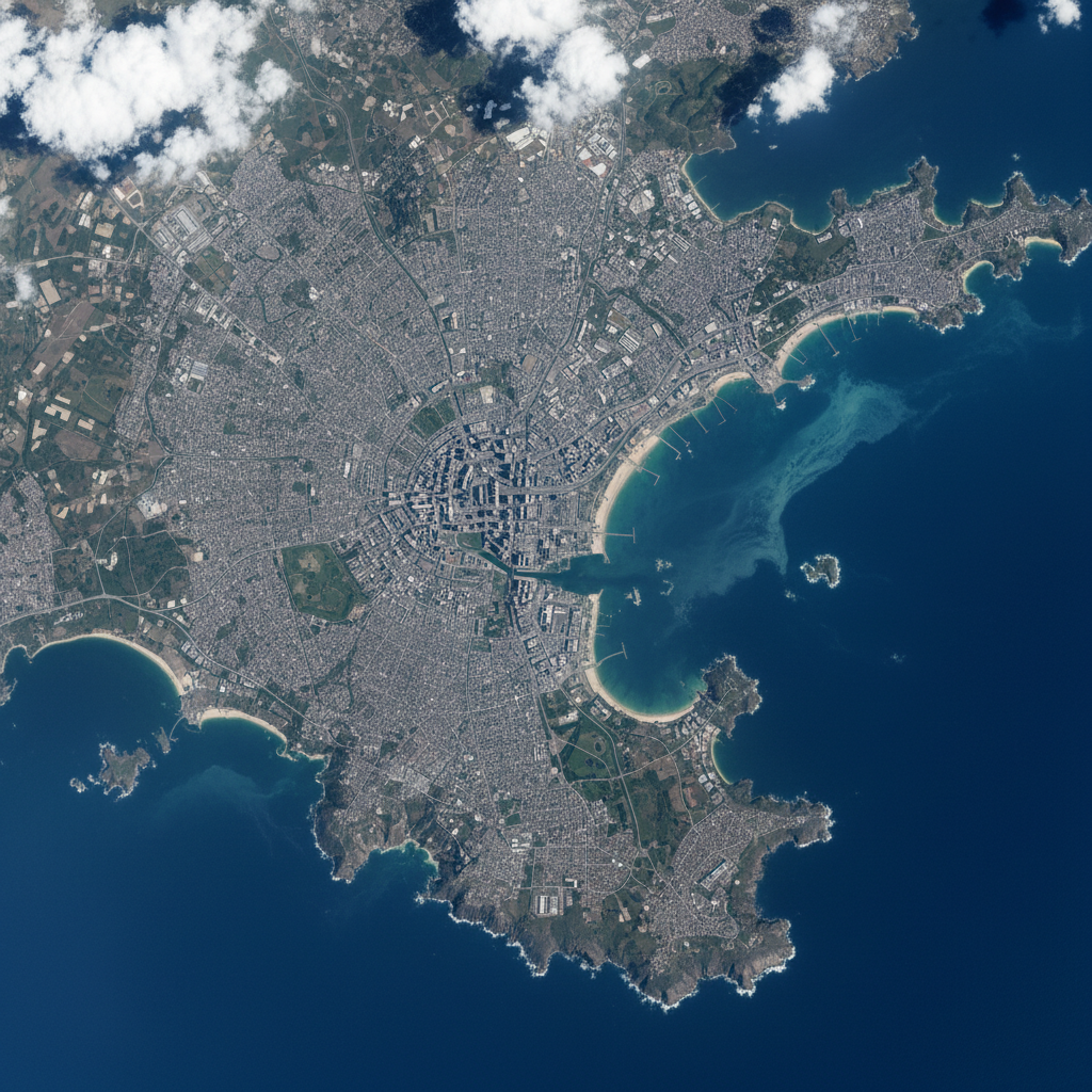
Analyze Sentinel-2, Landsat, MODIS, and commercial satellite imagery. Band math, spectral indices, classification, and time series analysis.
Typical: 500 MB - 5 GB per scene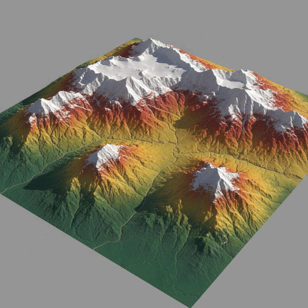
Process LiDAR DEMs, SRTM, ALOS, and Copernicus DEM data. Terrain analysis, viewshed, slope, aspect, curvature, and hydrological modeling.
Typical: 1-10 GB per tile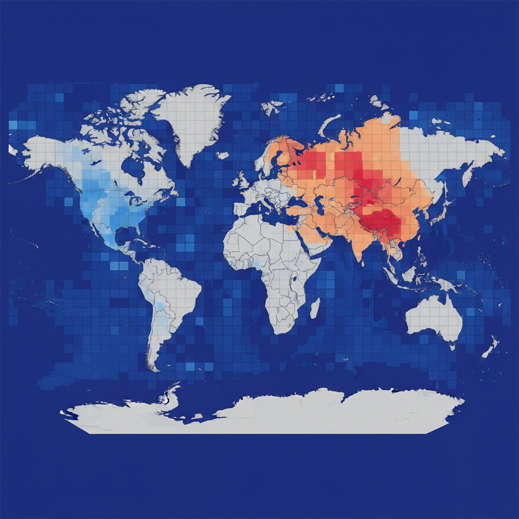
Analyze gridded climate data from ERA5, CHIRPS, GPM, and other sources. Temperature, precipitation, evapotranspiration time series and anomaly detection.
Typical: 100 MB - 50 GB per datasetLarge rasters are split into tiles, processed in parallel, and seamlessly stitched back together.
Work with any number of bands. Calculate indices (NDVI, NDWI, SAVI), band math, and composite visualizations.
From 30m Landsat to 2cm drone imagery. Automatic reprojection and resampling.
Leverage GPU for convolutions, classification, and deep learning inference on Desktop.
Process on your machine with Desktop, or use cloud infrastructure with Web for files up to 500 MB.
Zonal statistics, histograms, class area summaries, and auto-generated PDF reports.
Vegetation and water spectral indices
Slope, aspect, curvature, TPI, TRI
Flow direction, accumulation, watersheds
Supervised and unsupervised classification
Trend detection, anomaly mapping
Statistics per zone, region, or polygon
Upload a GeoTIFF and describe the analysis. Results in seconds.