New: AI-built dashboards you can share with one link. See what shipped →
Site suitability, zoning overlays, and walkability analysis on parcel and infrastructure data.
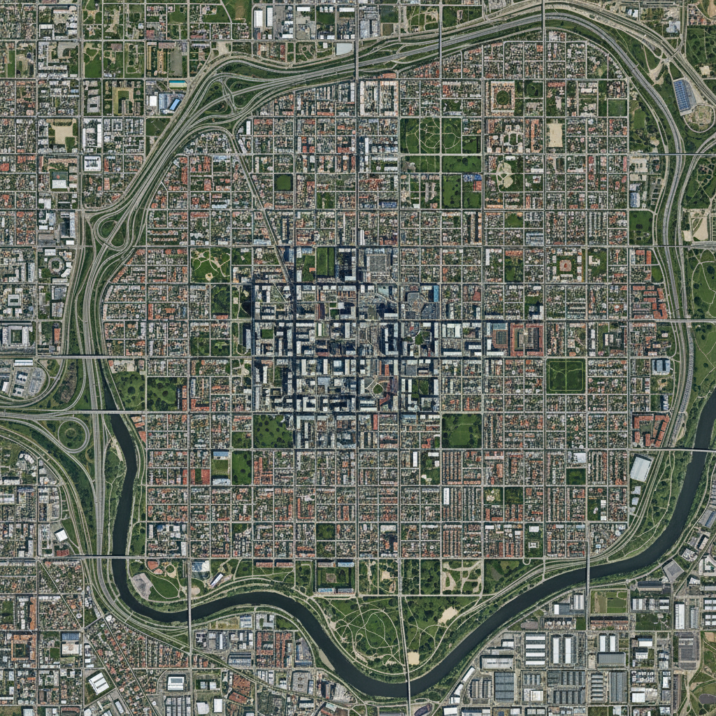
Urban planners juggle dozens of vector layers — zoning, parcels, demographics, transit, utilities — and rely on manual overlay analysis. Simple site selection queries still take hours of GIS work.
Web · vector workflows
Drop your shapefiles, GeoJSON, or GeoPackage into the workspace and ask. No install, free forever tier, results in seconds.
Combine proximity, zoning, and parcel attributes to find optimal sites for any use.
› Find parcels within 500m of transit stops, zoned commercial, with area above 1,000 sqm
Compute walking and driving isochrones from any point layer and intersect with parcels or population.
› Show 10-minute walking isochrones from all metro stations and the parcels inside
Visualize census attribute data as choropleth maps with automatic classification.
› Create a population density choropleth by ward using natural breaks classification
Measure park access and service-area coverage by combining park polygons with residential parcels.
› Calculate the percentage of each neighborhood within 400m of a park
Generate regulatory buffers around roads, pipelines, and protected areas; flag conflicts.
› Create 100m buffer zones around all highways and list residential parcels inside them
Desktop · raster image processing
The desktop app runs Python on your machine — no timeouts, no upload limits, works air-gapped. Request access to get the build that fits your OS and use case.
Process Landsat / Sentinel thermal bands into land-surface-temperature rasters and correlate with land cover.
Run multi-date classification on satellite stacks to detect new construction and informal expansion.
Generate slope, aspect, and curvature rasters from DEMs to feed into site-suitability scoring.
One workspace
Start in the browser. Move to desktop when the dataset gets heavy. Projects sync — no re-importing, no re-prompting.
Describe the analysis. GeoPilot picks ops, runs them, returns map + data + report.
Buffers, joins, network analysis, choropleths — finishes in seconds, every plan.
Same chat continues against local Python. No timeouts, no upload caps.
Free vector tier. Desktop by request — tell us your OS, dataset size, and sensor type and we'll get back within one business day.