New: AI-built dashboards you can share with one link. See what shipped →
Run vector workflows in the browser. Run raster image processing on the desktop. Same chat. Same workspace. Pick the engine that matches the job.
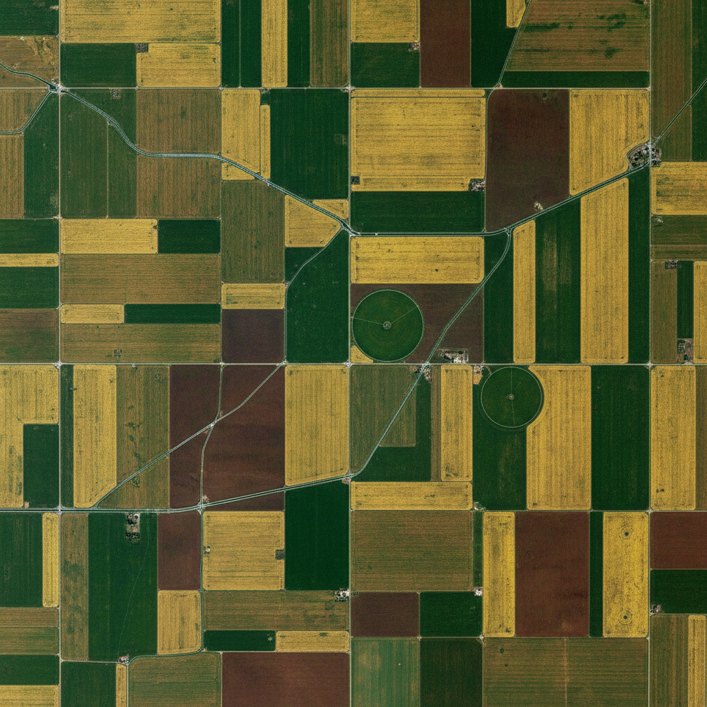
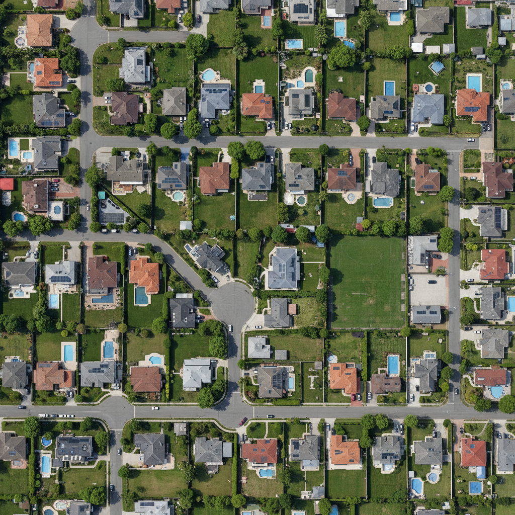
Buffer, dissolve, intersect, joins, network analysis, choropleths. Free forever tier — no install.
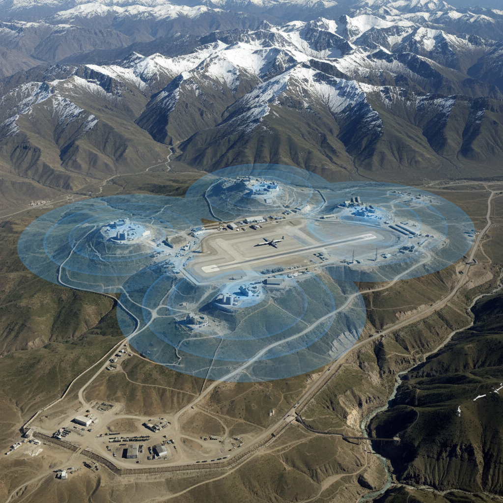
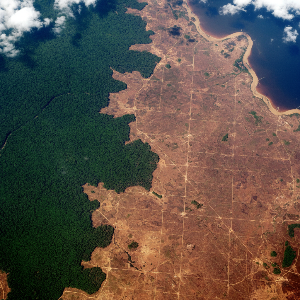
Available on every planNDVI, classification, viewshed, DEM derivatives, change detection. Local Python. No timeouts. Works air-gapped.
Industry solutions
Each industry comes with a curated library of vector prompts and a matching set of raster pipelines for the desktop app.
GeoPilot Desktop
NDVI time-series, supervised classification, viewshed, DEM derivatives, drone orthomosaics. Runs Python locally with no timeout limits and stays inside your network.
Tell us your OS, dataset size, and sensor type — we'll get back within one business day.
GeoPilot works with any vector data. Drop in a shapefile and ask in plain English — for raster pipelines, talk to us.