New: AI-built dashboards you can share with one link. See what shipped →
Asset proximity, route planning on vector road networks, and zone-based intelligence overlays.
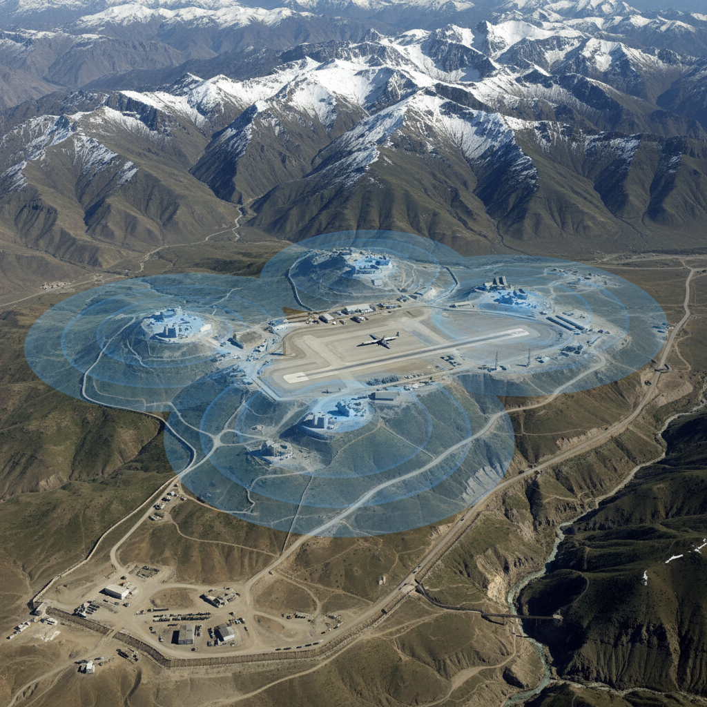
Defense and security teams need quick situational answers from vector layers — assets, supply routes, settlements, restricted zones. Terrain and imagery analysis stays on classified or air-gapped desktop installations.
Web · vector workflows
Drop your shapefiles, GeoJSON, or GeoPackage into the workspace and ask. No install, free forever tier, results in seconds.
For any operational area, list bridges, airfields, and supply nodes within a given range.
› Show all bridges, airfields, and supply routes within 30km of the area of operations
Buffer civilian settlements and overlay against operational zones for engagement planning.
› List settlements within 5km of every patrol route, sorted by population
Compute shortest and alternative routes on vector road networks with restricted-segment exclusions.
› Find the shortest route from base A to FOB B avoiding restricted road segments
Intersect mission tracks with restricted-airspace and protected-area polygons.
› Flag any flight track that enters a restricted airspace polygon
Stack tactical zones, terrain categories, and infrastructure layers into a single decision overlay.
› Overlay AOR polygons with friendly, neutral, and restricted zones; export as one layer
Desktop · raster image processing
The desktop app runs Python on your machine — no timeouts, no upload limits, works air-gapped. Request access to get the build that fits your OS and use case.
Run viewshed analysis from observation posts on high-resolution DEMs accounting for tower height and curvature.
Classify terrain into mobility categories from slope, vegetation, and soil rasters.
Detect new structures, vehicles, or activity by differencing high-resolution imagery captures.
One workspace
Start in the browser. Move to desktop when the dataset gets heavy. Projects sync — no re-importing, no re-prompting.
Describe the analysis. GeoPilot picks ops, runs them, returns map + data + report.
Buffers, joins, network analysis, choropleths — finishes in seconds, every plan.
Same chat continues against local Python. No timeouts, no upload caps.
Free vector tier. Desktop by request — tell us your OS, dataset size, and sensor type and we'll get back within one business day.