New: AI-built dashboards you can share with one link. See what shipped →
Parcel-level command areas, irrigation networks, and farm portfolio analytics on vector data.
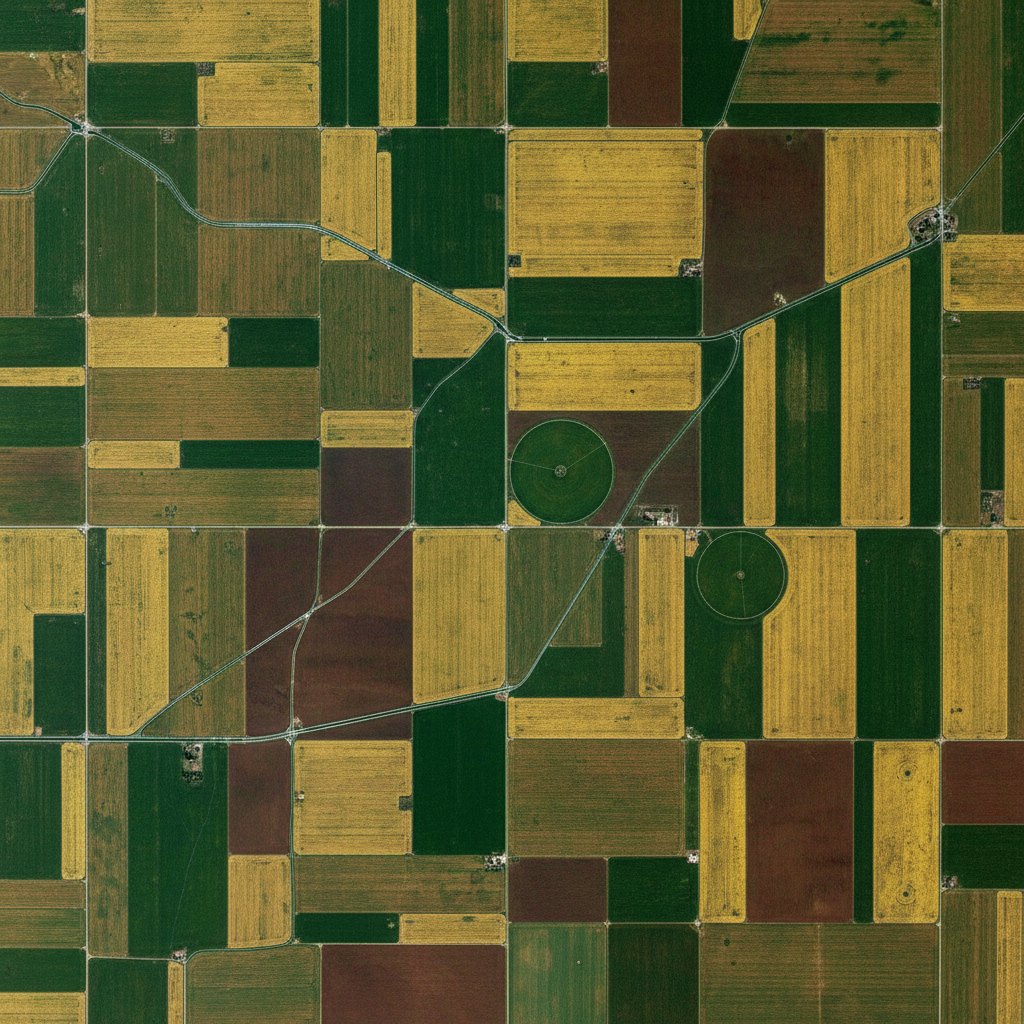
Agronomists, irrigation departments, and agritech platforms need fast answers on parcel boundaries, command areas, and asset coverage — without waiting for a remote-sensing pipeline. Heavy NDVI and classification work moves to desktop.
Web · vector workflows
Drop your shapefiles, GeoJSON, or GeoPackage into the workspace and ask. No install, free forever tier, results in seconds.
From a canal head or pump location, delineate command-area boundaries using vector parcel data.
› Delineate the command area for canal head CH-12 and total irrigable acreage by village
Join soil-survey polygons with cadastre to recommend optimal crops per parcel.
› Join soil polygons with the cadastre and label each parcel with recommended crop
Buffer cold storage and mandi locations to find parcels outside the post-harvest catchment.
› Show parcels more than 25km from the nearest cold storage, ranked by cropped area
Aggregate per-parcel attributes into block, district, or organization-level dashboards.
› Roll up sown area, crop type, and irrigation source by district from the parcel layer
Validate that insured parcels fall inside the declared block or village polygon for fraud checks.
› Flag insured parcels whose centroid falls outside the declared revenue village
Desktop · raster image processing
The desktop app runs Python on your machine — no timeouts, no upload limits, works air-gapped. Request access to get the build that fits your OS and use case.
Process Sentinel-2 / Landsat / drone multispectral stacks to produce NDVI, EVI, and crop-stress maps.
Run supervised classification on satellite time-series to map crop type at parcel resolution.
Train regression models linking NDVI / soil-moisture rasters to historical yield data.
One workspace
Start in the browser. Move to desktop when the dataset gets heavy. Projects sync — no re-importing, no re-prompting.
Describe the analysis. GeoPilot picks ops, runs them, returns map + data + report.
Buffers, joins, network analysis, choropleths — finishes in seconds, every plan.
Same chat continues against local Python. No timeouts, no upload caps.
Free vector tier. Desktop by request — tell us your OS, dataset size, and sensor type and we'll get back within one business day.